
Charlotte Metro North Carolina Personal Injury Lawyers
Serving Charlotte, Concord, Gastonia, Monroe, Huntersville, Matthews, and surrounding communities across the Charlotte metro region.

The Charlotte metro region is one of the busiest and most crash-prone traffic environments in North Carolina. Anchored by Mecklenburg County and supported by fast-growing suburban counties, this region carries a constant mix of commuter traffic, freight movement, airport traffic, and long-distance interstate travel. Major corridors such as Interstate 77, Interstate 85, Interstate 485, and U.S. Route 74 create a roadway network where congestion, merging, lane changes, and sustained highway speeds frequently overlap. Those conditions contribute to a high volume of collisions ranging from rear-end commuter crashes to severe interstate wrecks involving multiple vehicles and commercial trucks. Biazzo Injury Law is proud to represent accident victims throughout the Charlotte Metro region of North Carolina and help them pursue the compensation they deserve.
Regional Accident Profile
Largest Counties in Region
Mecklenburg County
Mecklenburg County is the core crash center of the Charlotte metro region. In 2024, the county reported 37,228 total crashes, including 10,189 non-fatal injury crashes and 141 fatal crashes. It also recorded 454 pedestrian crashes and 316 motorcycle crashes, showing that crash risk in Charlotte extends well beyond ordinary two-car collisions and regularly includes vulnerable road users in a dense urban setting.
The severity of Mecklenburg County’s crash environment is reflected not just in raw totals, but in the pace of serious harm. The 2024 county crash profile shows 147 fatal crash injuries, a total crash rate of 330.67 per 100 million vehicle miles traveled, and a time to next crash of just 0.2 hours. In practical terms, that is a traffic system where crashes occur constantly and where a meaningful number involve catastrophic consequences.
Gaston County
Gaston County is a major secondary crash county within the Charlotte metro region and an important part of the broader metro traffic footprint. In 2024, Gaston County reported 7,311 total crashes, including 1,709 non-fatal injury crashes and 41 fatal crashes. The county also reported 49 pedestrian crashes and 111 motorcycle crashes, reflecting a traffic environment shaped by suburban commuter flows, commercial corridors, and connections into and out of Charlotte.
Gaston County’s 2024 crash profile shows a fatal crash rate of 1.33 and a total crash rate of 391.04 per 100 million vehicle miles traveled. While the county’s raw totals are lower than Mecklenburg’s, its crash-rate profile shows that serious outcomes remain a substantial concern, especially on corridors where suburban travel, arterial movement, and regional highway traffic intersect.
What Are the Most Dangerous Roads in the Region?
Interstate 77 (I-77)
Interstate 77 belongs at the top of the dangerous-roads section for the Charlotte metro region because it runs directly through one of the most heavily traveled parts of Mecklenburg County. It functions as both a commuter corridor and a regional connector, which means it carries a dense mix of local daily traffic and through-travel. What makes I-77 especially dangerous in a Charlotte-region context is the combination of stop-and-go congestion, merging pressure, abrupt speed variation, and lane-change behavior. Those are exactly the types of conditions that produce rear-end crashes, side-swipe collisions, and multi-vehicle wrecks with significant injury potential. Mecklenburg County’s 2024 crash volume strongly supports highlighting this corridor.
Interstate 85 (I-85)
Interstate 85 is one of the defining crash-risk corridors of the Charlotte metro because it connects Charlotte to Concord and the broader central North Carolina corridor while also carrying substantial truck traffic. It is not just a commuter road. It is a freight route, a regional connector, and a high-speed travel corridor all at once. That combination matters because it increases both the frequency of crashes and the severity of injuries when collisions occur. Congestion near Charlotte can produce chain-reaction crashes and sudden braking events, while faster-moving stretches outside the urban core increase impact forces and the likelihood of severe or fatal injury.
Interstate 485 (I-485)
Interstate 485 is a critical dangerous-roads entry for the Charlotte metro because it reflects the region’s suburban growth pattern. As an outer loop, it carries drivers moving between fast-growing residential areas, employment zones, retail corridors, and connecting interstate routes. Unlike older city corridors, I-485 often involves higher travel speeds combined with frequent entering and exiting from expanding suburban development. That creates a crash environment where drivers are changing lanes aggressively, misjudging speed differentials, and navigating heavy merge activity. In a region with rising suburban traffic pressure, I-485 is exactly the kind of roadway where serious crashes can happen even outside the urban center.
Explore the cities we serve across the Charlotte metro region:

Ballantyne
Ballantyne's crash risk is concentrated along I-485, Rea Road, and Ballantyne Commons Parkway — corridors that handle both the commuter volume from south Charlotte's densest office and corporate campus concentration and the residential access traffic from the surrounding community.
.webp)
Belmont
Belmont's crash risk is shaped by its position on the I-85 corridor between Charlotte and Gastonia, where commercial truck traffic, commuters crossing the Catawba River, and industrial access roads create concentrated crash exposure on a limited number of routes.
Charlotte
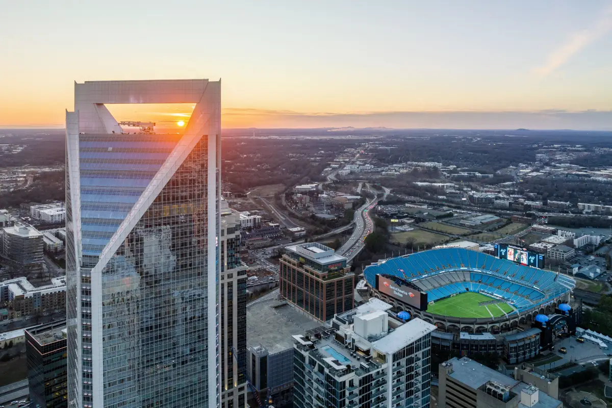
Charlotte's crash risk is shaped by rapid growth, major interstate corridors, and a documented High Injury Network where just 13% of streets account for roughly 80% of fatal and serious-injury crashes.
Chester
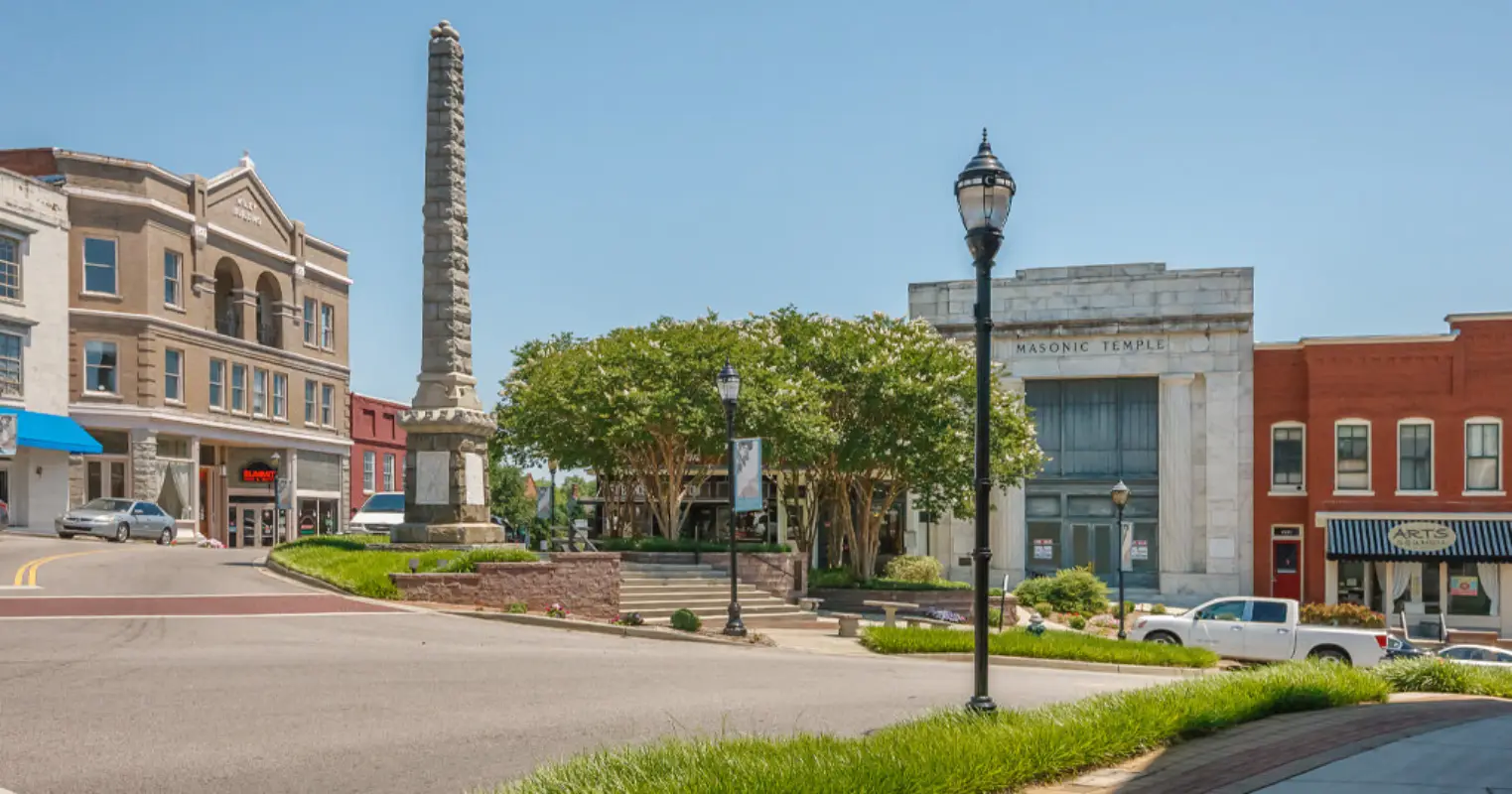
Chester's crash risk is driven by US-321 and SC-9, the primary corridors connecting Chester County to the Charlotte metro to the north and to Columbia and the Midlands to the south, where commercial truck traffic, regional commuters, and local drivers share a road network serving as a hub for surrounding rural communities.
Clover
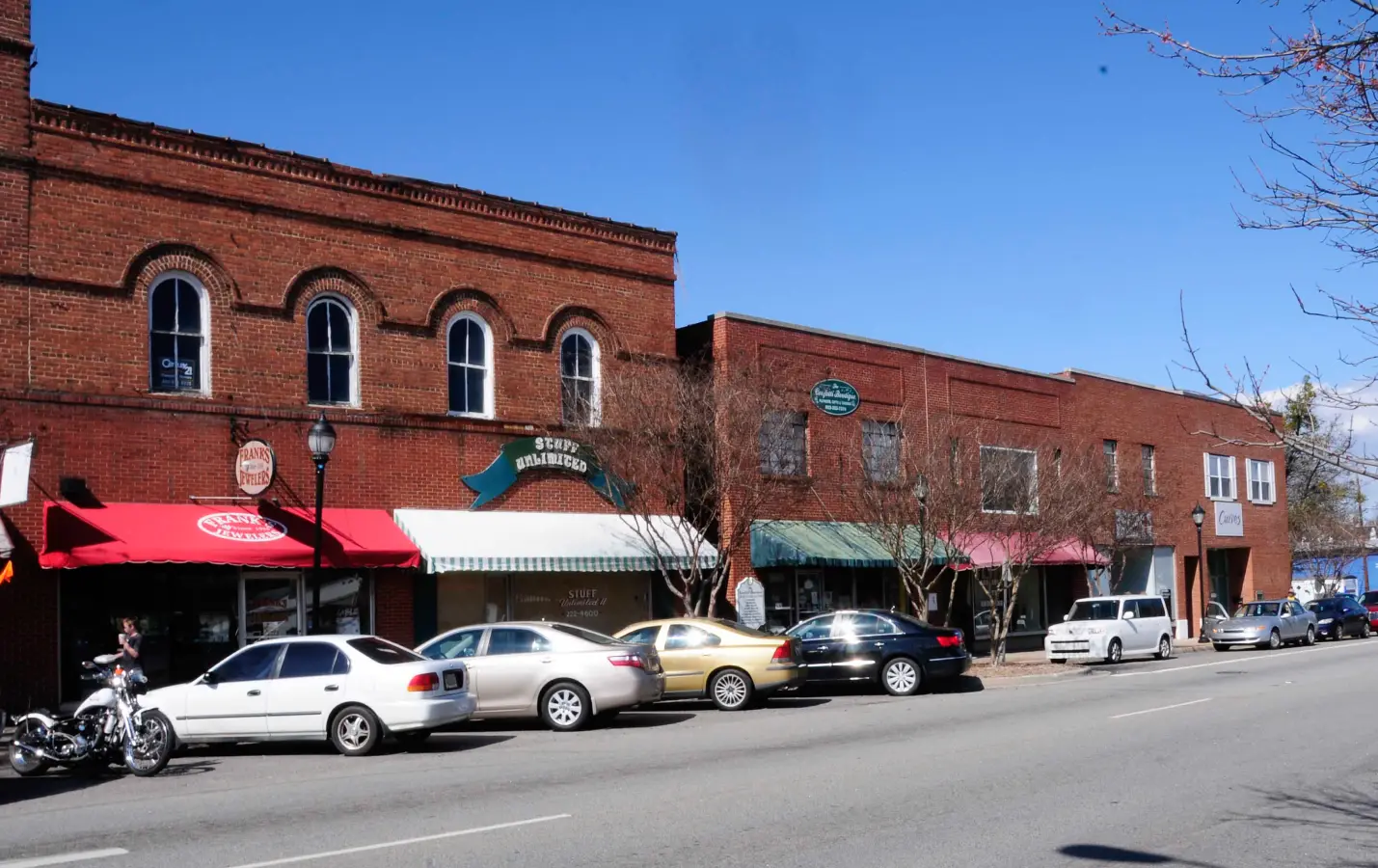
Clover's crash risk is concentrated on US-321 and SC-55, where traffic between York County communities and the larger Charlotte metro and Rock Hill areas passes through a growing small-town environment, and where Lake Wylie recreational traffic adds a seasonal visitor component to the commuter and commercial baseline.

Concord
Concord's crash risk reflects its position as the fastest-growing city in Cabarrus County, with US-29, NC-73, and Concord Mills Boulevard carrying heavy traffic through commercial and residential corridors that mix trucks, commuters, and shoppers.
Cornelius
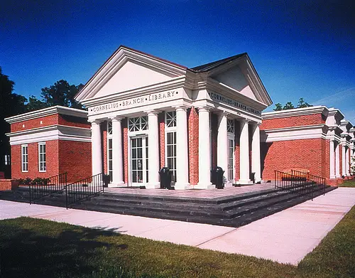
Cornelius's crash risk is shaped by its Lake Norman lakefront identity and its I-77 corridor position, where commuter traffic heading to and from Charlotte mixes with recreational lake visitors and commercial vehicles on a highway segment that has seen significant congestion growth.

Dilworth
Dilworth's crash risk is shaped by its role as one of Charlotte's busiest in-town neighborhoods — a dense mix of restaurants, shops, and rush-hour cut-through traffic squeezed onto historic streets never designed for current volume.

Elizabeth
Elizabeth's crash risk is shaped by its position between two major hospital campuses and Independence Boulevard, one of Charlotte's highest-volume commuter corridors bordering the neighborhood's southern edge.
Fort Mill
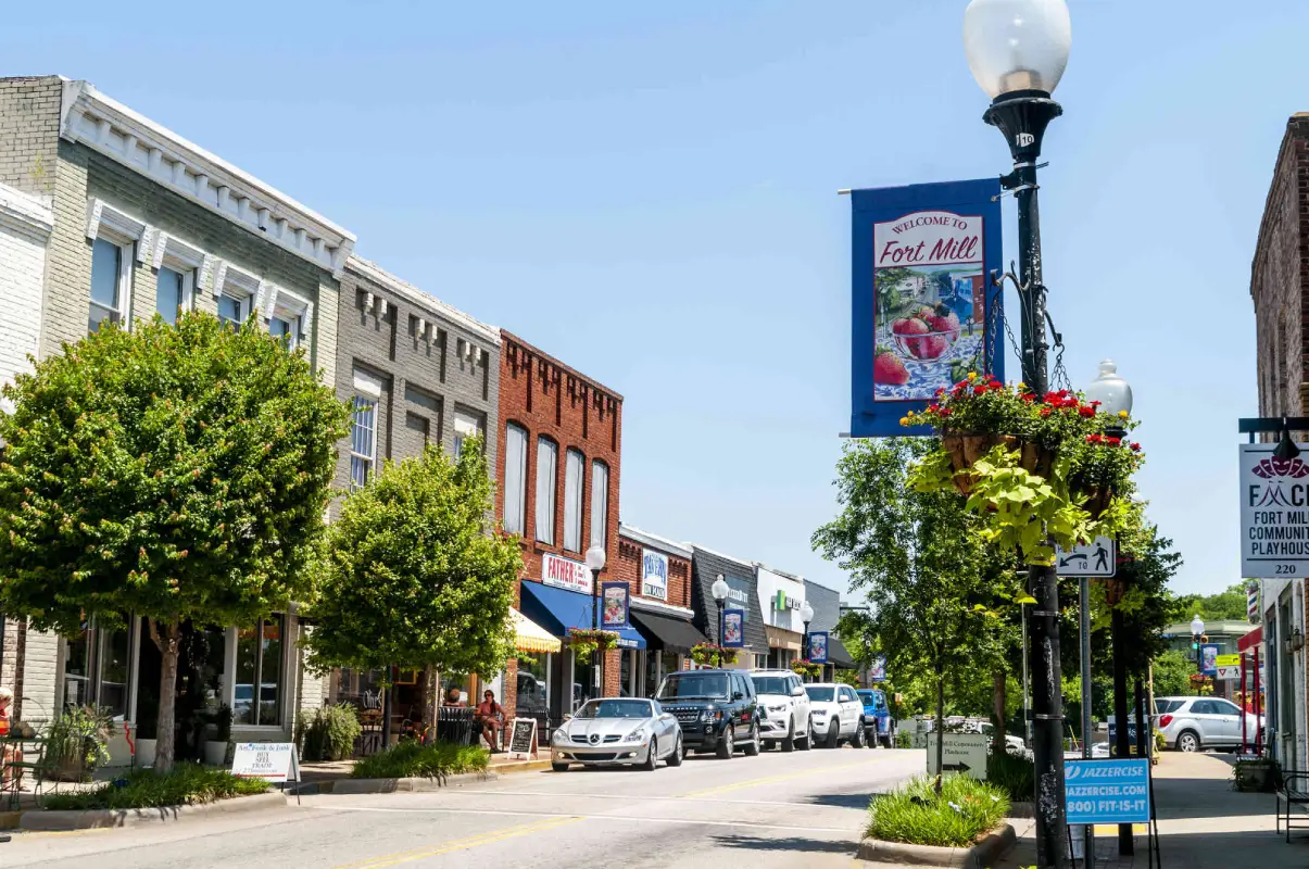
Fort Mill's crash risk reflects its position as one of the fastest-growing communities in South Carolina — and arguably in the southeastern United States — where I-77, SC-160, and US-21 now carry commuter and commercial traffic volumes that have significantly outpaced the road infrastructure built for a much smaller town.
Gastonia
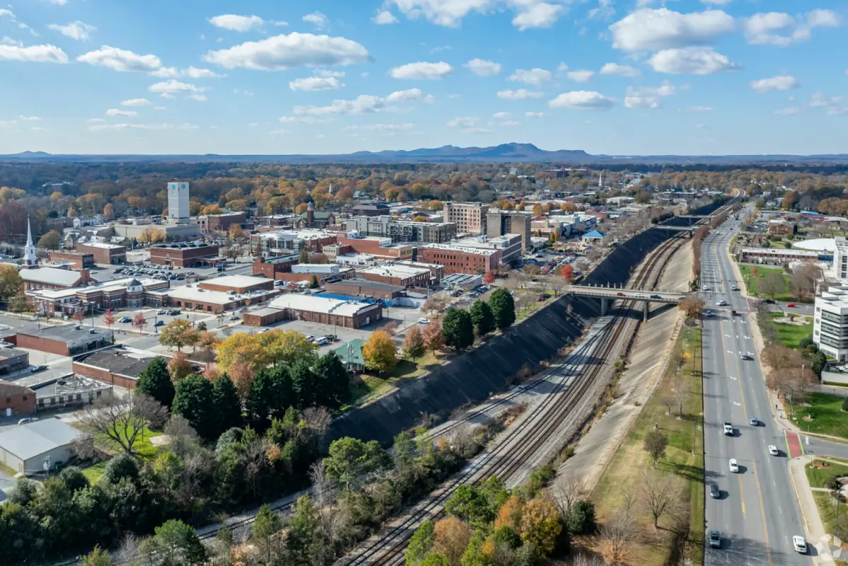
Gastonia's crash risk is driven by I-85, US-321, and the Franklin Boulevard corridor, where commercial truck traffic, commuters traveling between Gaston and Mecklenburg counties, and high-volume surface roads create significant crash exposure.

Great Falls
Great Falls's crash risk is concentrated on US-21 and SC-97 — the primary routes through this Catawba River community — where through-traffic, commercial trucks, and local drivers share roads in a small-town environment with limited medical and emergency response resources nearby.

Huntersville
Huntersville's crash risk has grown alongside the town itself — rapid residential development along I-77, Gilead Road, and Statesville Road has created a commuter and commercial traffic mix that produces frequent and sometimes serious crashes.
Indian Land
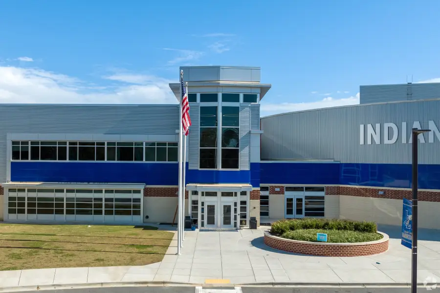
Indian Land's crash risk mirrors its status as one of the fastest-growing areas in South Carolina — an unincorporated Lancaster County community immediately south of Ballantyne where US-521 now carries commuter traffic volumes comparable to a major urban arterial, far exceeding the road's original design capacity.

Indian Trail
Indian Trail's crash risk reflects its position as one of the fastest-growing towns in North Carolina, where US-74, Old Monroe Road, and Indian Trail Road now carry commuter and commercial traffic volumes that have significantly outpaced the road infrastructure built for an earlier, smaller community.

Kannapolis
Kannapolis's crash risk is concentrated along the US-29 corridor and the NC-3 / Dale Earnhardt Boulevard commercial strip, where a growing population, proximity to Concord Mills-area traffic, and commercial truck movement on US-29 create elevated crash exposure.
Lake Wylie
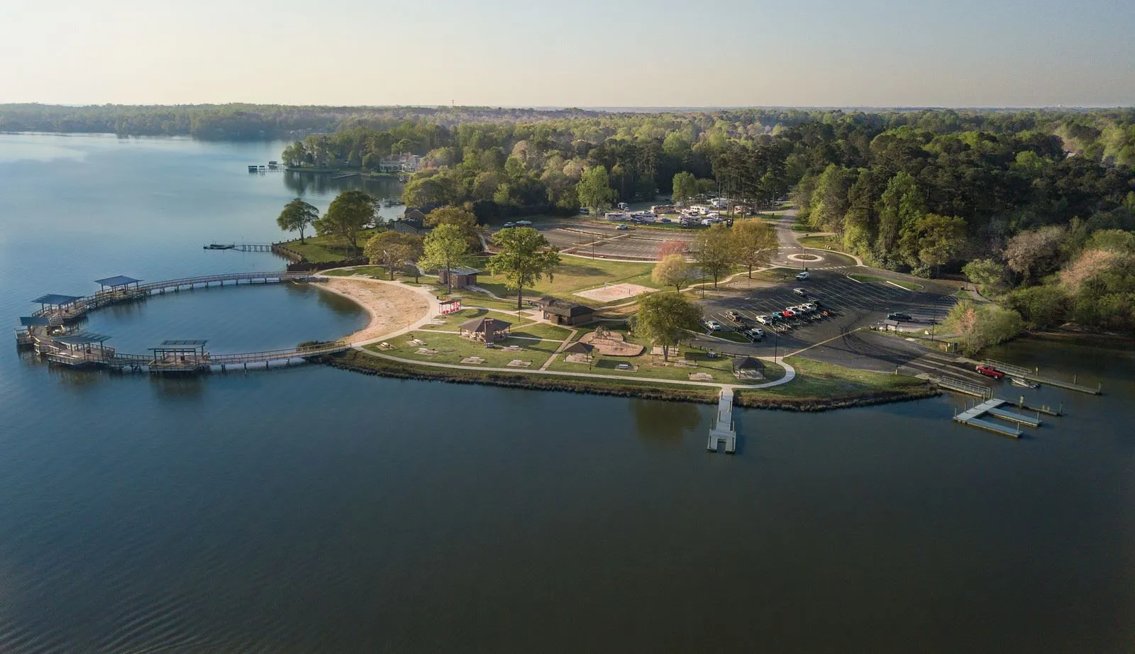
Lake Wylie's crash risk reflects its character as a growing unincorporated lakefront community where SC-49, SC-274, and the Lake Wylie Road corridor carry recreational visitors, commuters, and local residents through a road network with limited capacity and significant recreational traffic mixing.

Lancaster
Lancaster's crash risk is anchored by US-521, SC-9, and the downtown corridor system, where regional through-traffic, commercial trucks serving Lancaster County's industrial base, and local residential traffic share roads in a county seat environment with limited road network redundancy.

Lincolnton
Lincolnton's crash risk is anchored by US-321 — the primary corridor connecting Lincoln County to the greater Charlotte metro — where commercial truck traffic, commuters, and industrial access road activity create the highest-crash-frequency conditions in the county.
Matthews
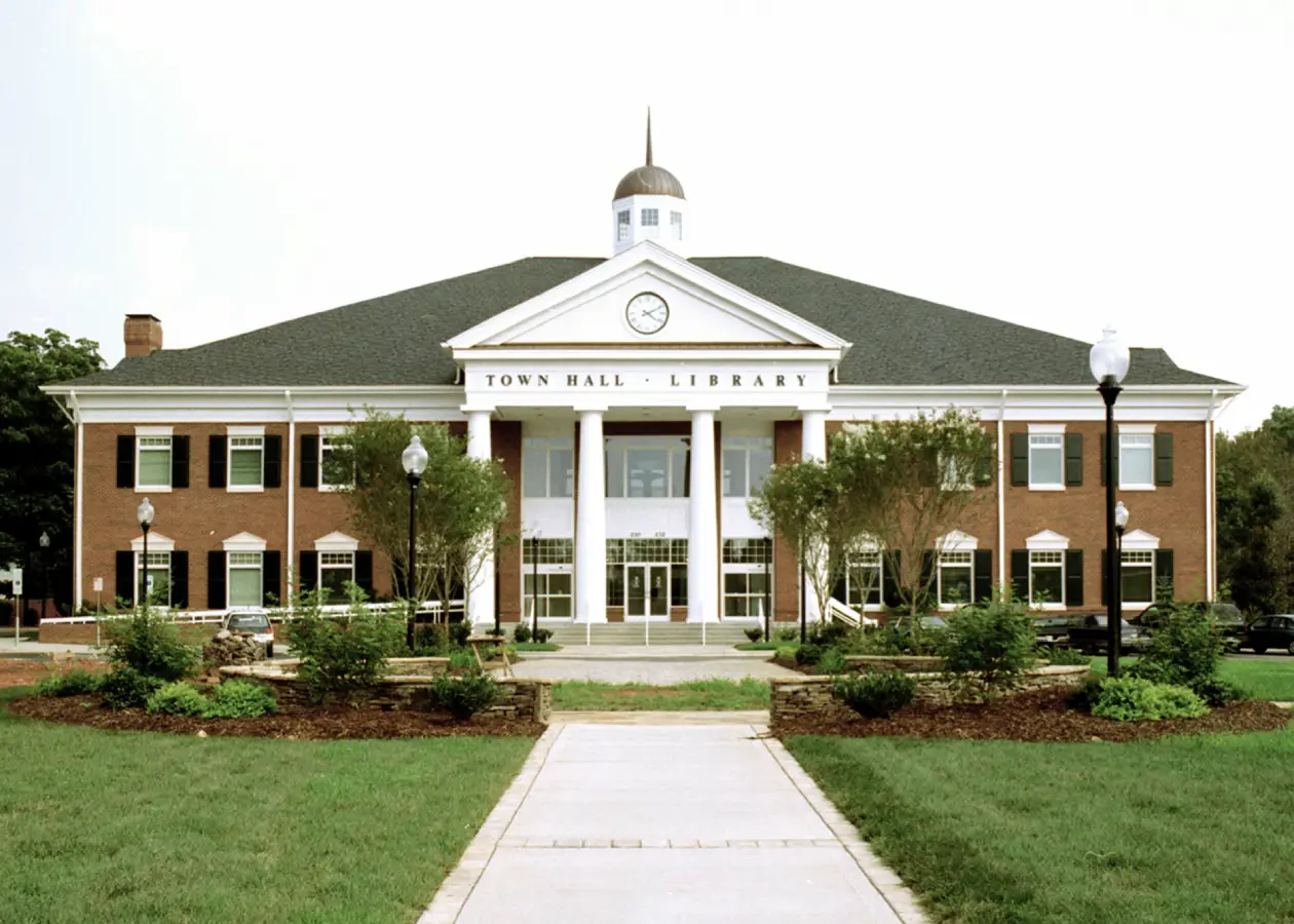
Matthews sits at the southeastern edge of Mecklenburg County where US-74 / Independence Boulevard carries some of the heaviest commuter and commercial traffic in the Charlotte region, creating elevated crash exposure along its major corridors and signalized intersections.
Mint Hill
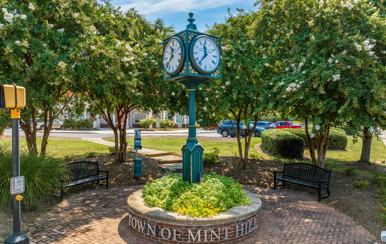
Mint Hill's crash risk reflects its position at the eastern edge of Mecklenburg County where I-485, US-74 (Independence Boulevard East), and Matthews-Mint Hill Road converge to handle a large and rapidly growing commuter population pushing outward from southeast Charlotte. The I-485 interchanges near Mint Hill are among the most crash-active zones in eastern Mecklenburg County.

Monroe
Monroe's crash risk is defined by US-74 — the Andrew Jackson Highway — which carries regional commuter and commercial traffic through the Union County seat and is the primary road corridor connecting the fast-growing communities of Indian Trail, Stallings, Waxhaw, and eastern Union County to Charlotte, creating volumes that NCDOT data consistently identifies as elevated for a mid-sized county seat market.
.webp)
Mooresville
Mooresville's crash risk reflects its dual identity as both a Lake Norman bedroom community and a growing commercial hub on I-77, where commuter traffic, recreational vehicles, and commercial trucks share a highway corridor with frequent merging and access-point conflicts.
Mount Holly
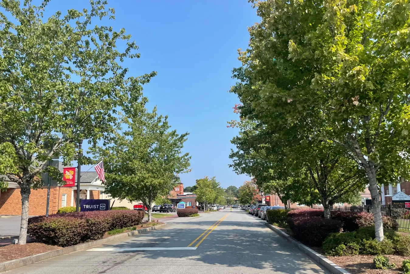
Mount Holly's crash risk reflects its position as a Catawba River crossing community where NC-273, NC-27, and US-74 converge to carry commuter and industrial traffic between Gaston County and the Charlotte metro.

Myers Park
Myers Park's crash risk centers on Providence Road, a corridor specifically named in City of Charlotte Vision Zero enforcement materials, where high-value retail and school traffic mixes with regional commuter volume moving through one of Charlotte's largest historic neighborhoods.

NoDa
NoDa's crash risk is driven by its identity as Charlotte's arts and entertainment district — a compact grid that regularly absorbs festival crowds, gallery-crawl foot traffic, and light rail ridership on streets shared with steady vehicle traffic.

Pineville
Pineville's crash risk is driven by its position at the convergence of I-485, US-521 / South Boulevard, and NC-51 — three of the highest-traffic corridors in south Mecklenburg County — and by the commercial intensity of the Carolina Place Mall area, which generates vehicle conflicts across a compressed road network.
Plaza Midwood
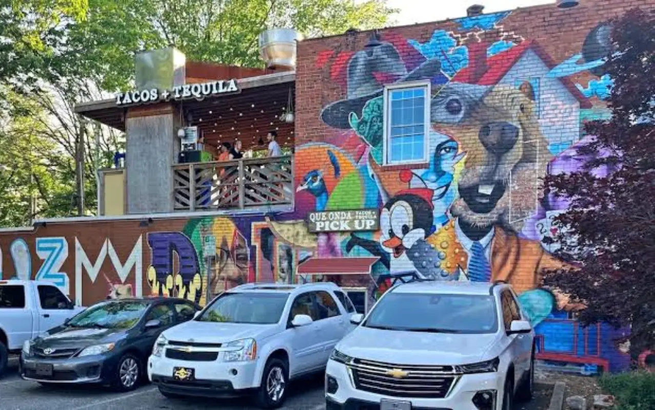
Plaza Midwood's crash risk centers on Central Avenue, one of the corridors specifically named in City of Charlotte Vision Zero enforcement materials, where dense restaurant and retail traffic meets commuter through-traffic on a historically commercial street.
Rock Hill
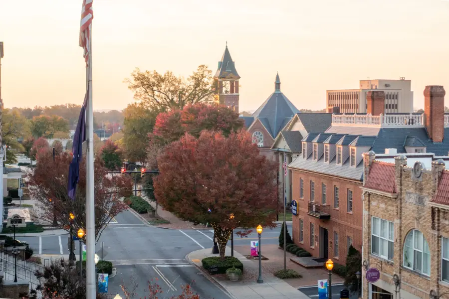
Rock Hill's crash risk reflects its role as York County's largest city and the primary commercial hub for South Carolina communities south of Charlotte, where I-77, Dave Lyle Boulevard, and Cherry Road converge to carry regional, commuter, and retail traffic at high volumes through a dense commercial environment.
South End
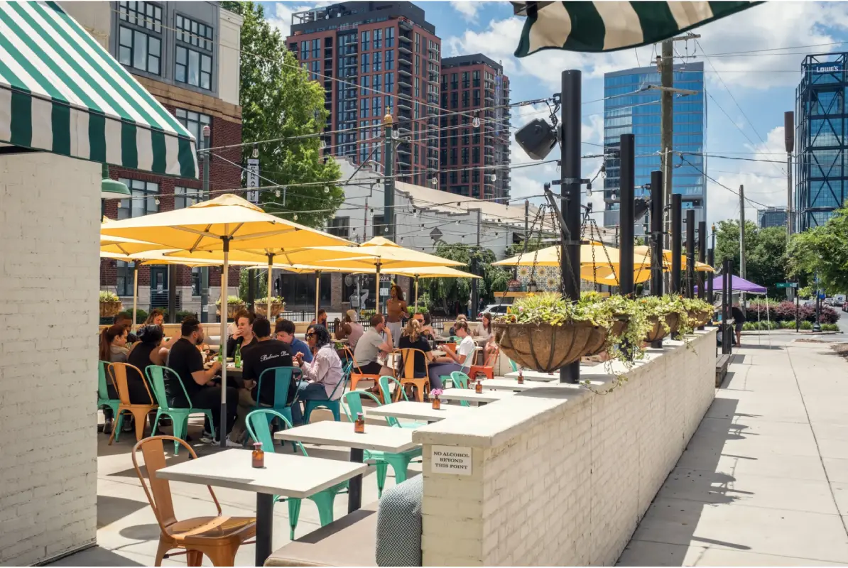
South End's crash risk reflects its transformation from industrial warehouse district into Charlotte's fastest-growing urban neighborhood, where light rail, nightlife foot traffic, cyclists, and dense vehicle traffic now share the same narrow corridor.

SouthPark
SouthPark's crash risk is driven by its role as one of the Charlotte region's busiest retail and business hubs, where mall-adjacent traffic, office commuters, and regional shoppers converge on a compact network of roads around Fairview Road and Sharon Road.

Steele Creek
Steele Creek's crash risk reflects its status as one of the fastest-growing areas of southwest Charlotte, where new residential development has added substantial traffic to Steele Creek Road, South Tryon Street, and the I-485 loop faster than road infrastructure has kept pace.

Tega Cay
Tega Cay's crash risk is concentrated on the limited road access points serving the Lake Wylie peninsula, where US-21 / Gold Hill Road and SC-49 carry the combined commuter and recreational traffic of a growing lakefront city through a road network with few alternative routes.
University City
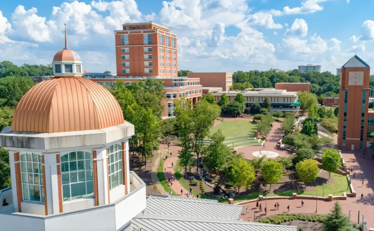
University City's crash risk is driven by rapid growth around UNC Charlotte, with W.T. Harris Boulevard — named in City of Charlotte Vision Zero enforcement materials — carrying dense commuter, student, and commercial traffic through the neighborhood's core.
Waxhaw
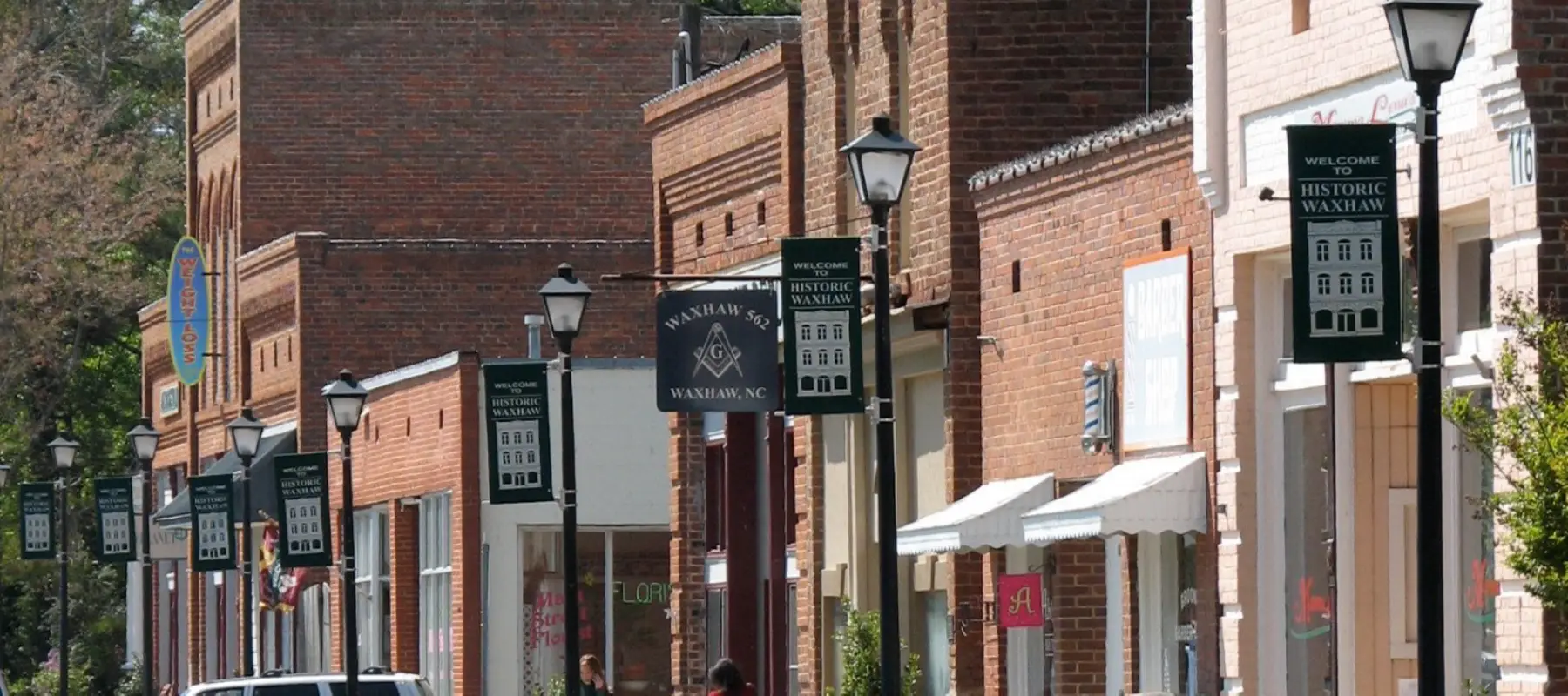
Waxhaw's crash risk has grown alongside the town itself — Union County's southernmost incorporated community has been one of the fastest-growing towns in North Carolina for more than a decade, and the US-74 corridor, Providence Road South, and Waxhaw-Indian Trail Road now carry commuter volumes that exceed what infrastructure in this historically rural area was designed to handle.

Weddington
Weddington's crash risk reflects its character as a high-growth affluent suburb where Providence Road, Rea Road Extended, and US-74 carry commuter traffic at volumes that have outpaced infrastructure in several corridors, and where high-speed suburban roads intersect with residential access points that lack adequate turn lanes and signal timing.

York
York's crash risk reflects its position as the county seat of one of South Carolina's most active counties — York County — where US-321 and SC-5 carry regional traffic through a historic downtown and commercial corridor that serves both the town's own population and the surrounding communities that use York as their county government and services hub.


